Expert en télédétection appliquée à l'environement et l'agriculture
Agronome passionné de télédétection et de nouvelles technologies
Projets récents
Découvrez mes projets en télédétection et cartographie.
Analyse de données
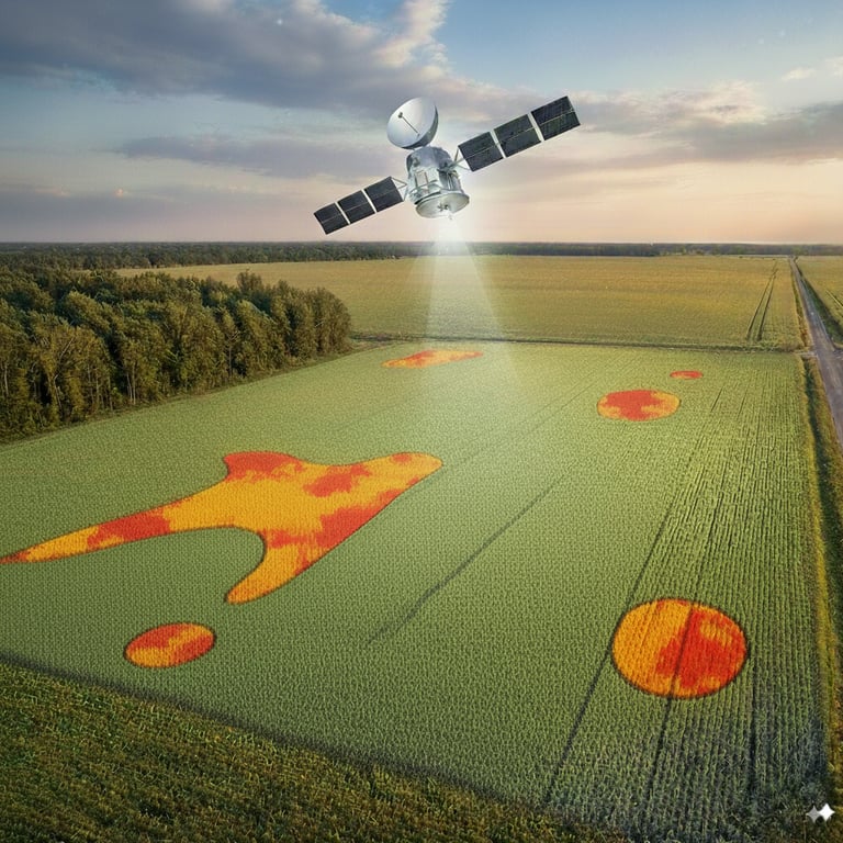
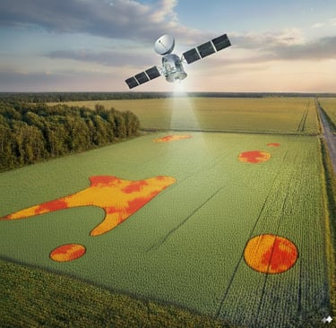
Interprétation des données de télédétection.


Cartographie avancée
Création de cartes détaillées et précises.


Recherche collaborative
Travail d'équipe sur des projets innovants.
Projets variés
Exploration de différents domaines d'application.
→
→
→
→
Expérience Professionnelle
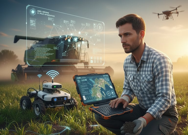
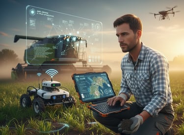
En tant qu'agronome et spécialiste en télédétection, j'ai acquis une expertise précieuse dans la cartographie et l'analyse des données environnementales.
Projets
Mes Réalisations
Découvrez mes projets en cartographie.


Collaborations
Experience. With our intuitive design and user-friendly interface, your website will captivate visitors. 2
Expert en agronomie et télédétection
Passionné par la cartographie, je combine mes compétences en agronomie et en télédétection pour offrir des solutions innovantes et durables.


150+
15
Trusted by many
Expertise reconnue
Contactez-nous


Pour toute question, n'hésitez pas à nous contacter par email ou téléphone.